Note
Click here to download the full example code
Download Data with StreamStats
Learn how to use StreamStats python library to download watershed boundary data available in USGS StreamStats API. StreamStats provides information including HUC code, a GeoJSON representation of the polygon associated with the watershed, and basin characteristics.
Import Packages
Download the necessary Python packages. The GeoPandas package is an open
source project that assists in working with geospatial data in Python. Learn
more about GeoPandas.
import streamstats
import geopandas as gpd
Identify watershed
To identify a HUC, use a latitude and longitude value to select a specific watershed.
Assign cordinates to variables lat and lon. Using StreamStat’s data,
assign location to a variable that will represent the
delineated watershed using the USGS StreamStats API.
lat, lon = 39.966256, -105.482227
ws = streamstats.Watershed(lat=lat, lon=lon)
Find boundary properties of the watershed
ws.boundary is a stored variable in the watershed object and will return
the full watershed GeoJSON as a dictionary. You can access the CRS through
the GeoJSON object.
ws.boundary
ws.boundary['crs']
Out:
{'type': 'ESPG', 'properties': {'code': 4326}}
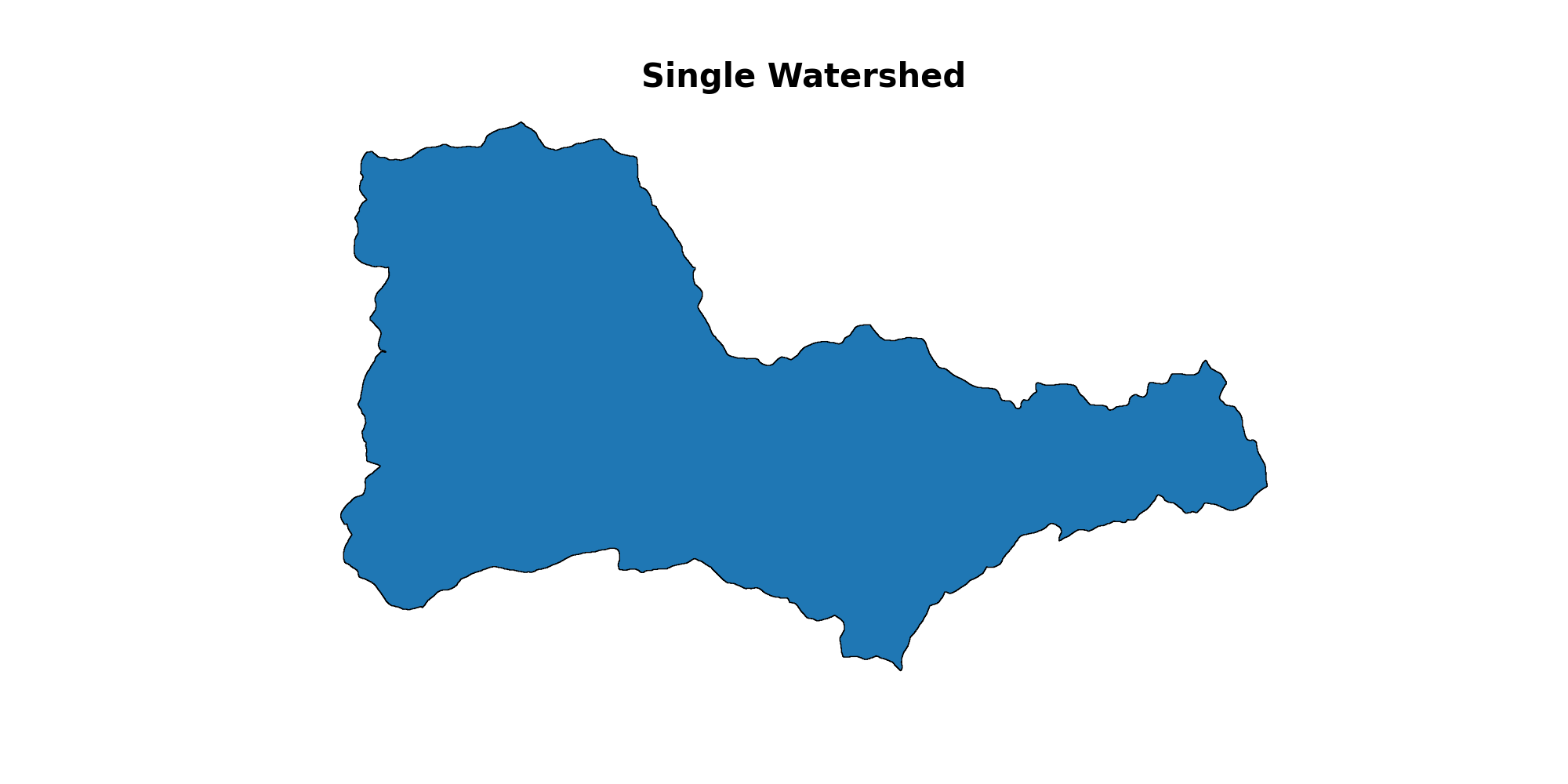
Create plot of the Watershed
Open the GeoJSON with GeoPandas and plot the data.
ws.boundary
poly = gpd.GeoDataFrame.from_features(ws.boundary["features"], crs="EPSG:4326")
ax = poly.plot(figsize=(20, 10), edgecolor='k')
ax.set_title("Single Watershed", fontsize=30, fontweight = 'bold')
ax.set_axis_off()
Total running time of the script: ( 0 minutes 44.197 seconds)